Also, having lightnings and auroras would be really really top.
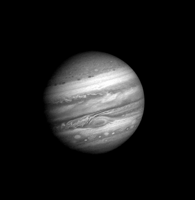
Yeah, Jupiter's magnetosphere is extremely powerful, it must be real fireworks of polar auroras ?
ORBITER-FORUM will be temporarily closed at 2026-07-23 18:00 UTC while we complete some OF maintenance tasks. The amount of downtime is expected to take up to one hour, but probably less.
Also, having lightnings and auroras would be really really top.
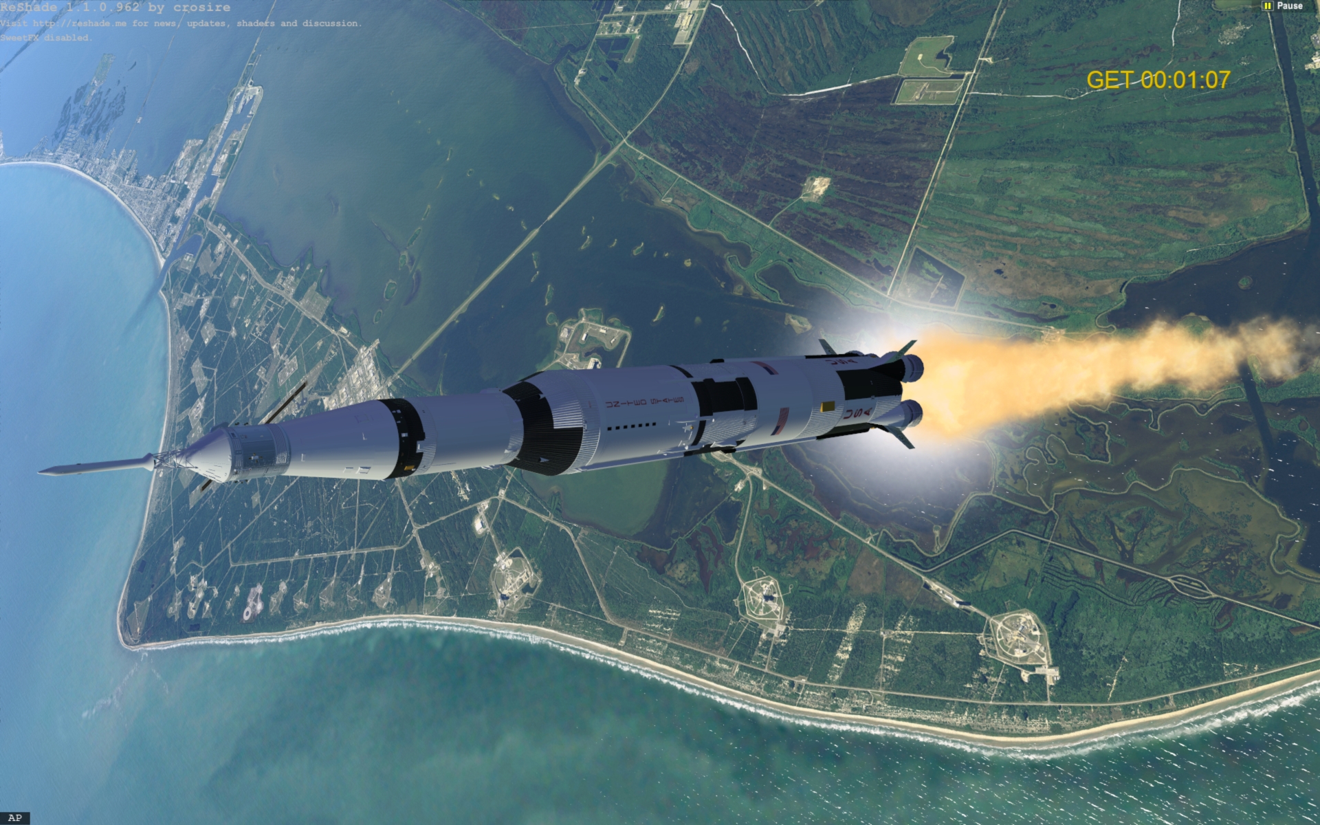
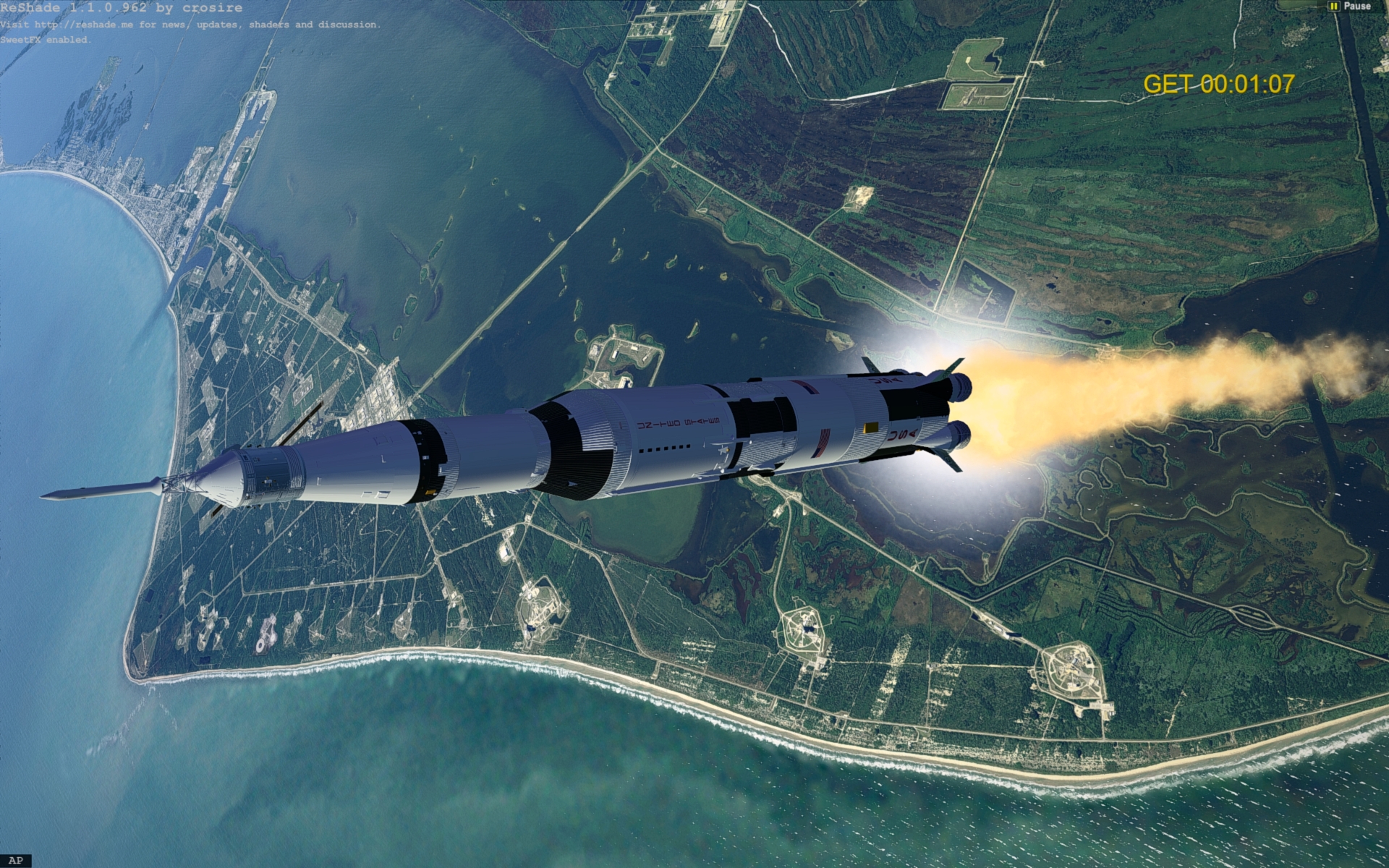
Thanks, I'm trying to get rid of some weird seams that show up at LEO and then I'll upload them.Wow, amazing clouds! Are they available for download?


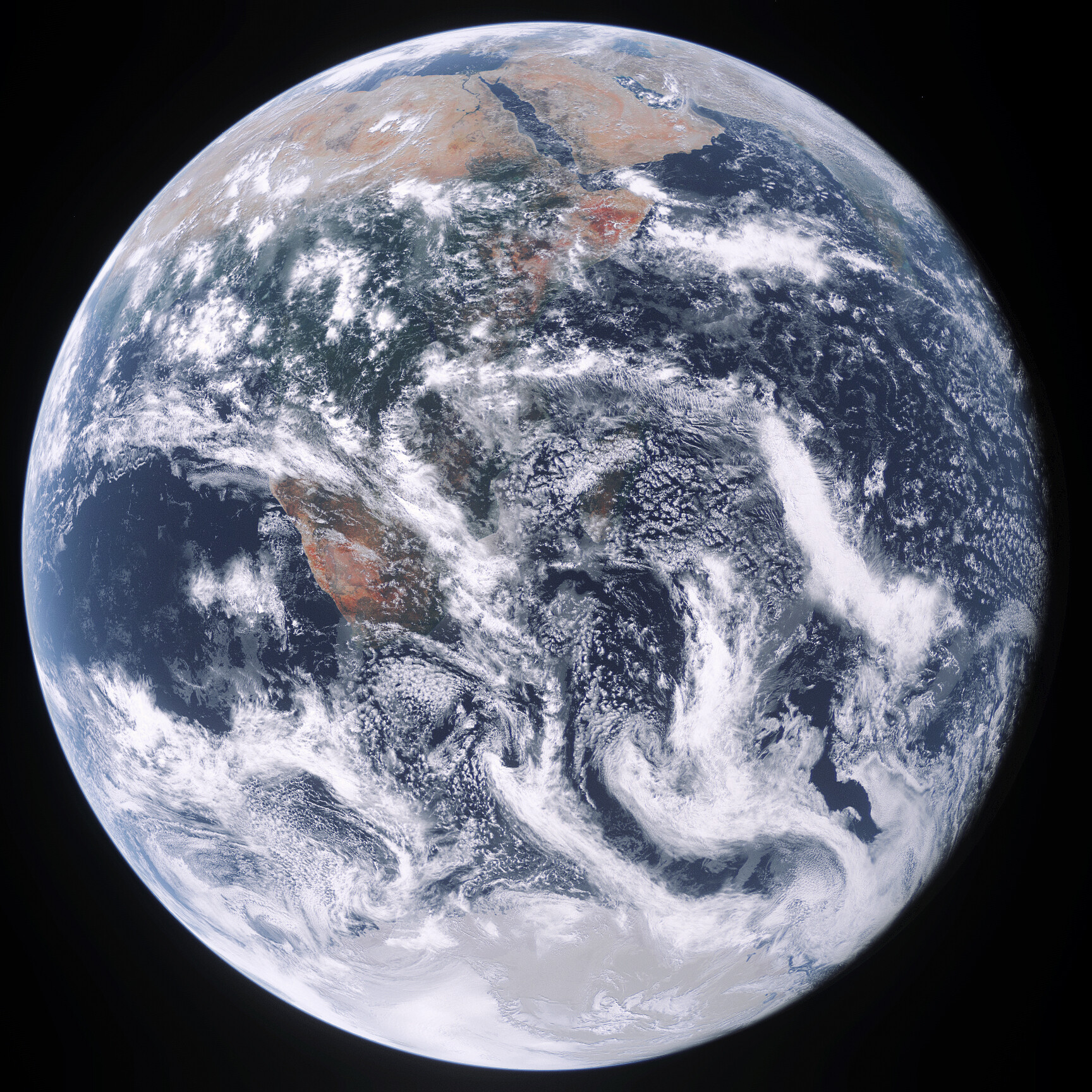
Some dark clouds (OpenOrbiter with Skybolt)

Thanks, I'm trying to get rid of some weird seams that show up at LEO and then I'll upload them.


 Fortunately, I kept the zip
 ")
Yes, of course, it's OK to upload the client.@jarmonik A new version would be great, but could you make R4.7 accessible somewhere? Or simply give me permission to upload it to OH as a legacy developer resource - on this case no extra work for you, and of course full credit will be given! I think it would be good to preserve all the tools for Orbiter 2016.
I think this is the video:True, there is this video from Voyager 1 that shows you a brief timelapse of jupiter and it's pretty amazing the speeds those equatorial clouds have.
Also, having lightnings and auroras would be really really top.


Client uploaded for those that might need it:Yes, of course, it's OK to upload the client.
.png")
That's a lot.All active satellites (5000+)!
Better res - Link
View attachment 29616
Data from celestrack - https://celestrak.org/NORAD/elements/gp.php?GROUP=active&FORMAT=tle
Green dots using modified DrawOrbits in D3D9Client/Sample folder. Usedto get current positionCode:pOrb->TrAByMJD(oapiGetSimMJD());