Base New York Surface Tiles

Sbb1413

Well-known member
Joined
Aug 14, 2018
Messages
1,013
Reaction score
401
Points
98
Location
West Bengal, India
Preferred Pronouns
he/his/him
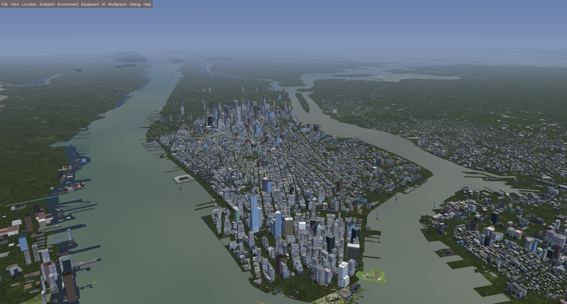
Hi! I want to visit New York with 3D buildings in Orbiter, especially Statue of Liberty, World Trade Center, World Financial Center etc. Can you offer me
some surface tiles for New York City?
 
Not sure if surface tiles would do the 3d part you would need a mesh
 
I am not sure whether it is a good idea to create meshes of a metropolis for Orbiter, performance wise.

Orbiter does offer some very basic shapes for modeling buildings. Perhaps it's possible to create a script which converts the data Google Earth uses to these Orbiter shapes.

I don't know whether this data is available. I think it is, but I never tried parsing it.
 
Generally you need some rendering trickery (merging the meshes and using texture atlases, instancing, intelligent LOD management...) to make a whole city composed of individual buildings work performance-wise.

Flightgear has a toolchain to convert OSM data to 3d meshes, and there's currently lots of effort going into making the rendering efficient (the current wisdom is that simple buildings get instanced and only complicated buildings get an explicit mesh,...)

In principle you can learn the toolchain (ask google for OSM2City ) and might end up with the 3d models automagically - though converting them to an Orbiter-suitable format may sill require work - but the raw meshes without any accelerating trickery will have poor framerate.
 
The best option would likely be a mixture of different techniques, depending on distance and angle. A paper about real-time forest rendering is a good starting point there, since it would also work well with cities, at least from an high-altitude POV.

http://phildec.users.sourceforge.net/Research/Forest.php

 
Last edited:
I am not sure whether it is a good idea to create meshes of a metropolis for Orbiter, performance wise.

Performance may vary, but it's been done.
[ame="https://www.orbithangar.com/searchid.php?ID=5960"]Pictown 1.1[/ame]
 
Please note that if you create objects from the default building blocks ("block", "hangar", "tank", etc), Orbiter already merges meshes where possible (i.e. elements with matching materials and textures) to improve performance. Custom meshes however are rendered one at a time.
 
Since Orbiter has 3D terrain, eventually the best option would be to treat buildings as elevations... Google went that route and it sort of works.
You would need to handle 90º faces and map textures to those, but it requires the same amount of processing than the current terrain....

Towards the OP's question, the best solution would be Orbiter Base Maker. Outdated but a better learning tool than notepad...
 
In principle you can learn the toolchain (ask google for OSM2City ) and might end up with the 3d models automagically

Turns out this already has been done for lower Manhattan

original


The whole scenery is here (I recommend to check license with the author before working with it for Orbiter adaption - likely it's GPL, but I won't vouch for it):

https://github.com/mherweg/NewYork-fg-CustomScenery
 
Please note that if you create objects from the default building blocks ("block", "hangar", "tank", etc), Orbiter already merges meshes where possible (i.e. elements with matching materials and textures) to improve performance. Custom meshes however are rendered one at a time.

I am talking about legacy Orbiter (2010) version.
 
But apart from that - no you weren't. You didn't mention the 2010 version anywhere in the thread before. Maybe you were just thinking it?

Language barrier, I'd say. I guess the statement was just meant as additional information without the cautionary connotation currently conveyed by it.
 
Back
Top