Advanced Question incorrect azimuth

dallatorretdu

New member
Joined
May 7, 2008
Messages
18
Reaction score
0
Points
0
Hello, more than 1 year ago i was playing orbiter 2006 and last week I saw the new 2010 version!
Well.. i tried it and it's a lot more stable! Some big Add-ons are now in a newer version, like the DG IV 2, ucgco and the Energy project seems to have better models and textures!
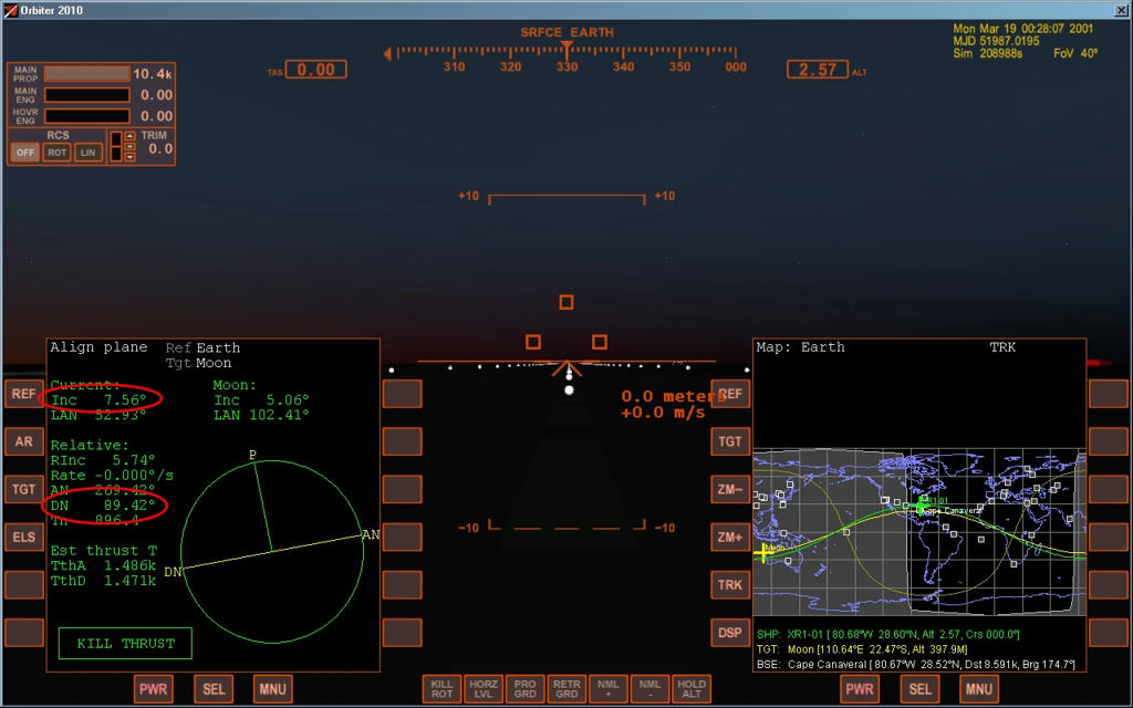
In those days i done things like render-vouz with Iss and moon, that seems as the old version.
BUT i have a little problem that i don't remember in the 2006 version:
when i calculate the Azimuth (sin^-1 (cos(orb.incl)/cos(Current Lat)))
and i launch on that (using the AP provided with the DG IV 2 i got an erratic orbit, +-20°.
I done a launch with the HLLV Energia [on the mir 2 ST scenario], it was set for 56° inc in orbit and he sayd predicted azimuth 30-something
But he gave me an orbit of 37,31°, he missed a lot and with that tug i cannot make big corrections.

somebody can tell me if i have some setting fault or i do something wrong?

Code:
complex flight model ON
limited fuel ON
auto refuel on pad (???) ON
gravity-gradient Torque ON

in the 2006 version i have the Nonspherical gravity enabled but in 2010 i find that sometimes he disrupt my orbits douring render-vouz

tank you all!
 
yes but if i say to the HLLV to go at 56° it can go at that inc or that depends on the position too?

another question, the azimuth must be calculated in equatorial relative pos? not using another reference?
i reinstalled the game and now the autopilot works correct.. my azimuth calc is still not precise, there is a longer version for the azimuth calc?
 
Last edited:
Yes, there is a longer, more accurate formula for azimuth calculation. If you have the DGIV (old version or new), you will find it in the manual, just after the short version. The long version accounts for the planet's rotational velocity (in meters/second at the equator), so you will need to know that (IIRC it's 450 ms for Earth) and your launch latitude (can be obtained from SurfaceMFD).
 
those data cannot be achieved with some tool in-game?
there is a tool that can tell me when begin the launch for have minimum adjustments in space?
I found problems building the mir2, launching the Titan module i was able to reach the Mir2 just for luck, and because the titan have rms. i need to be a lot more precise when i will launch the solar panels, i thinki the launch is all, having just that little DM tug after...
tank you
 
It looks like [ame="http://www.orbithangar.com/searchid.php?ID=2802"]Launch MFD[/ame] is what you need.

In order to reach, for example, the orbit of the ISS you need to launch in the correct heading (in order to achieve the same inclination), which is given by the formula you posted above, AND on the right time: to do so, approximately, open up the Map MFD and set it up to show the orbital plane of the ISS. When the plane crosses your launch site, you can launch.

This is a very crude method, but it works decently enough for craft like the DG that have enough fuel to perform a plane change of a few degrees later.
 
It looks like Launch MFD is what you need.

In order to reach, for example, the orbit of the ISS you need to launch in the correct heading (in order to achieve the same inclination), which is given by the formula you posted above, AND on the right time: to do so, approximately, open up the Map MFD and set it up to show the orbital plane of the ISS. When the plane crosses your launch site, you can launch.

This is a very crude method, but it works decently enough for craft like the DG that have enough fuel to perform a plane change of a few degrees later.

:thumbup:Indeed is the right tool, the only limitation is that your latitude must cross the orbit of the target satellite or body, if not you won't be able to select it.
 
Well, yes, but that is like complaining about a limitation of Physics, since it's not possible to reach an inclination lower than the latitude of the launch location. :)

Still, it's an AWESOME tool. Just today I discovered that it's got a compass mode that helps you greatly during the initial roll of vertically launched vehicles.

Who said that?:lol:
I was misunderstood: that it IS the right MFD, nevertheless you'll have to find other tools if you want to find proper heading and launch time if you're out of latitude cross.
For example, if you want to launch to the moon from KSC (or higher latitudes) to get best RIn (and for now we don't talk now about the Off-Plane trip with the wonderful IMFD Surface Launch :)), you can't use it.
I use Align MFD + Map MFD in Orbit Line configuration.
You just wait for the minimum Current Inclination and Descending Node to be about 90°. You won't be aligned, but RIn will be the (first) smallest possible for your launch latitude (in picture 5.74°).
Launch Heading will be always 90°, and with a bit of RCS correction, you'll be able to mantain that RIn of 5.74° till LEO.
2504fe6879e49a1bbabb536bf7caebe97f26cd94beef5de7d13da5828eb2c8776g.jpg
 
Last edited:
Well, yes, but that is like complaining about a limitation of Physics, since it's not possible to reach an inclination lower than the latitude of the launch location. :)

i beg to differ: you can always fly a plane-intercept leg (flying due north/south) till you meet the plane, then conducting ascent. its a bit of a pain, but it is possible
 
i beg to differ: you can always fly a plane-intercept leg (flying due north/south) till you meet the plane, then conducting ascent. its a bit of a pain, but it is possible

Yep, but that would be like changing the base, with lower crossing latitude, in that case Launch MFD would work. I think that depending by the plane distance could be not very fuel efficient, sometimes not at all.
 
Back
Top