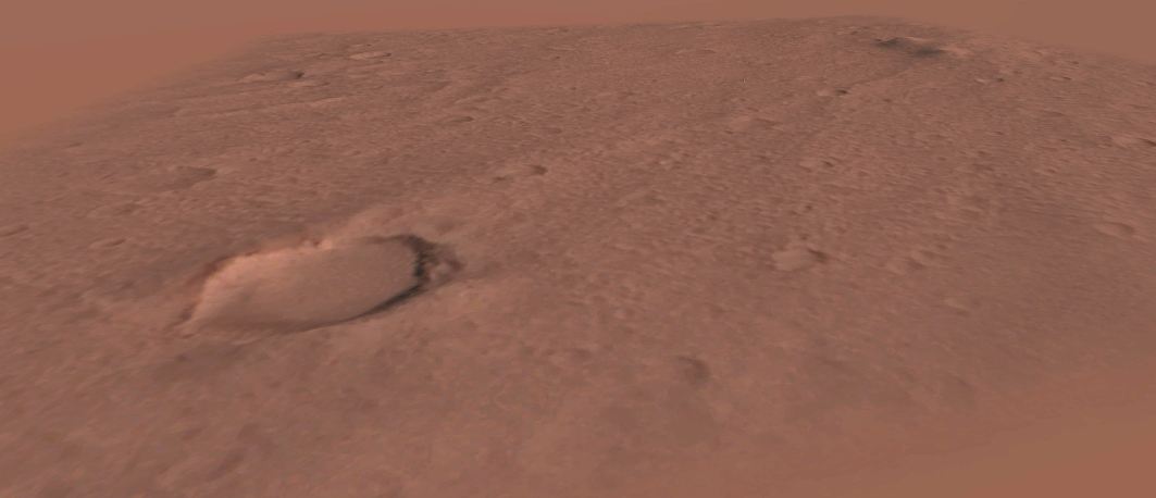
This add-on will give you a base on Mars, displaying the actual terrain around Carl Sagan Memorial Station. This is the location of the Mars Pathfinder Mission (19.13°, â33.22°).
The terrain was derived using a simple photoclinometry software that I wrote, and with some hand cleanup based on available data. Remember that the area is very flat and that the highest point (Twin Peaks) is about 35 meters high.
Â
The add-on is terrain only (the lander + rover are not modeled). A invisible landing pad is located at a place where the mesh intersects Orbiterâs surface at zero altitude and close to the historical landing site.
Â
Attention: Orbiterâs âmars_probes.mkrâ marker file is corrected to reflect the actual landing site coordinates. Please backup the original.
Original image credits: NASA/JPL/Univ. of Arizona/USGS
Processing and 3D model by Ricardo Nunes (4thRock)Â