Humor How is the World viewed from all over the World

SiberianTiger

News Sifter
News Reporter
Donator
Joined
Feb 13, 2008
Messages
5,398
Reaction score
8
Points
0
Location
Khimki
Website
tigerofsiberia.livejournal.com
Found a cool lj post with collection of world maps from different countries. The obvious trend is to put each one's homeland in the center. I must admit that foreign maps indeed look weird.

US political map
185827_196685087026522_100000550963828_686261_6444193_n.jpg


US terrain map
c900deluxlaminatedworldmap.jpg


Russian world maps
20068978__1worl_ph1.jpg


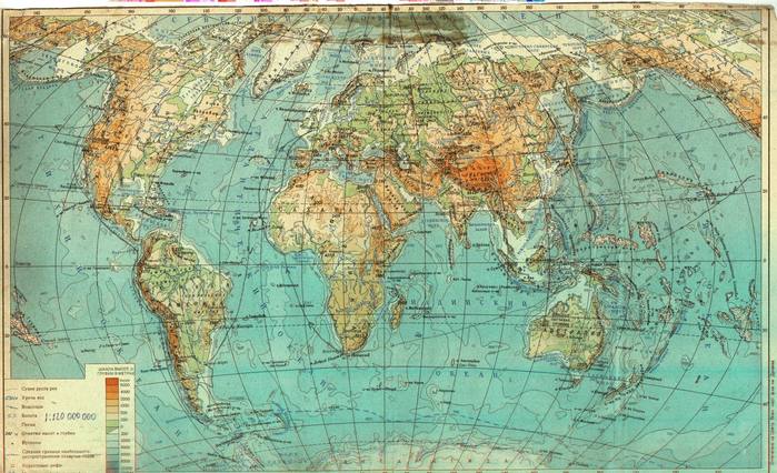
This one is printed in the USSR
world_15_AP_web_enl.jpg


Australian map! :jawdrops:
map%20naoborot.jpg


Another one, with Antarctica pictured
Map,+world,+upside+down,+Australia+on+top.jpg


South African map
wus_withpanelsRGB800-300-05.jpg


Chinese map
229645279_fef2d36cac_b.jpg


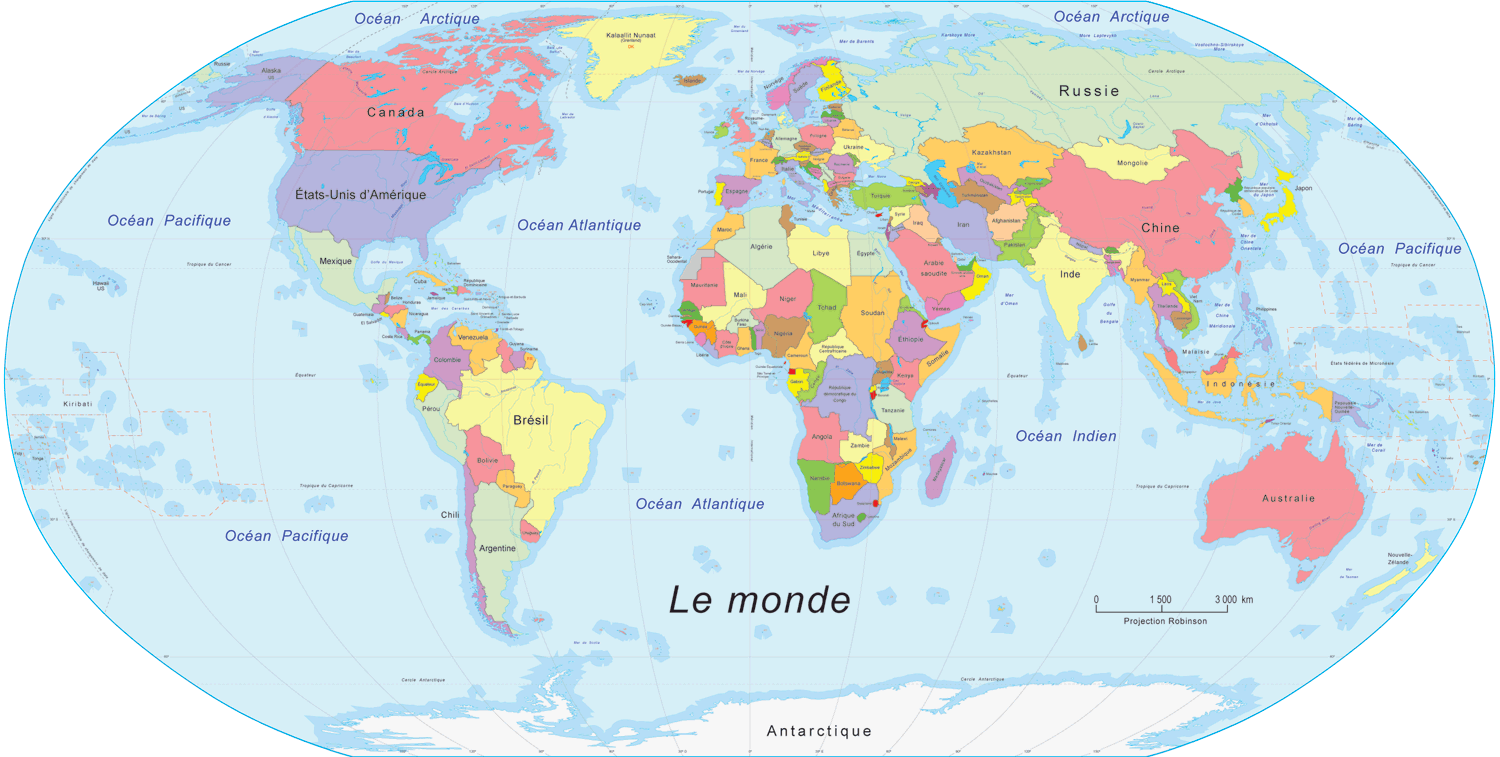
French map - almost like the Russian ones
carte_monde.gif


And the last one is an anamorphic projected showing real side of territories of all countries, instead of how we are accustomed to see it (Russian is still big, but not THAT big, for example):
ZEMWOR10L%28large%29.JPG
 
You know, only the rest of the world think that :P

My very real Australia Centred Map

IMG_6117.JPG
 
Edit : :rofl: from above !

I had a geography course last year where the subject was debated.

One of the very obvious things is that the equator line is rarely at (height of the map / 2), but more at (height of the map *2/3). Southern hemisphere is of little interest for northern world maps because it is mostly covered by water, and because one of the biggest landmasses is Antartica, which is impossible to display properly in (corrected) Mercator projections, and which presents no interest in terms of human geography (no countries, no cities). By consequence the size of the Northern hemisphere (and especially Europe) is exagerated, which allows to put in more details.

The world map pinned above my desk (Le Monde, n°902, Michelin) is a perfect exemple of that.

Conclusion : use Orbiter as a world map or planispheres, because each 2D-paper projection of the Earth surface has it's flaws. ;)
 
Last edited:
South African map

:lol:

I'm not sure where you found that map, and I don't really look at local maps often, but I'm pretty sure we generally use the usual north-is-up, centered-on-Greenwich variety.

Since Africa is pretty close to the meridian on said maps, it is more or less in the center. But maybe it's just my own personal geographic bias: the first thing I notice on any map is Africa...

Conclusion : use Orbiter as a world map or planispheres, because each 2D-paper projection of the Earth surface has it's flaws.

Google Earth is pretty useful for this too... of course, for something tangible there are always globes.
 
That Australian map has just turned my views on the world upside down...
 
Last edited:
the first thing I notice on any map is Africa...

Same thing here, despite being at a distance from Africa. Wondering, if it has something to do with Africa being the ancient motherland of all the humanity? :hmm: Or maybe its shape wakes up a baby memory of certain important maternal attributes? :lol:
 
The one I have in my room is centered on Greenwich. How do maps of other planets look in the southern hemisphere? This image is from Australia:
477px-Lunar_cataclysm.jpg
 
Same thing here, despite being at a distance from Africa. Wondering, if it has something to do with Africa being the ancient motherland of all the humanity? Or maybe its shape wakes up a baby memory of certain important maternal attributes?

Perhaps, but it would obviously be a learnt rather than inherent in nature. The first humans didn't know the shape of their continent, etc.

I guess it depends on the meridian. Africa is both near the meridian and on the equator, so it's at the center of the map- and thus the center of attention.

I guess perceptions could shift depending on where the meridian is placed, but personally this confuses me more than anything else- it takes a while to find Africa. :lol:

In general, do people view their home first when they look at a map?

How do maps of other planets look in the southern hemisphere? This image is from Australia:

:lol:

It's awesome to see a recognisable moon once in a while. :P
 
Back
Top