One of Europe's most expensive space program ever, a large scale Earth observation satellite program that promises to provide unprecedented environmental data to European governments, institutions and and general public finally kicks start tomorrow. Jointly operated by the European Space Agency and the European Commission, the Copernicus Program aims to map the Earth's land, ocean and atmosphere with a fleet of new satellites, known as the Sentinel series, to replace the old ERS and Envisat satellites providing optical and radar images of the Earth, as well as ocean height, temperature, and also atmosphere composition information.
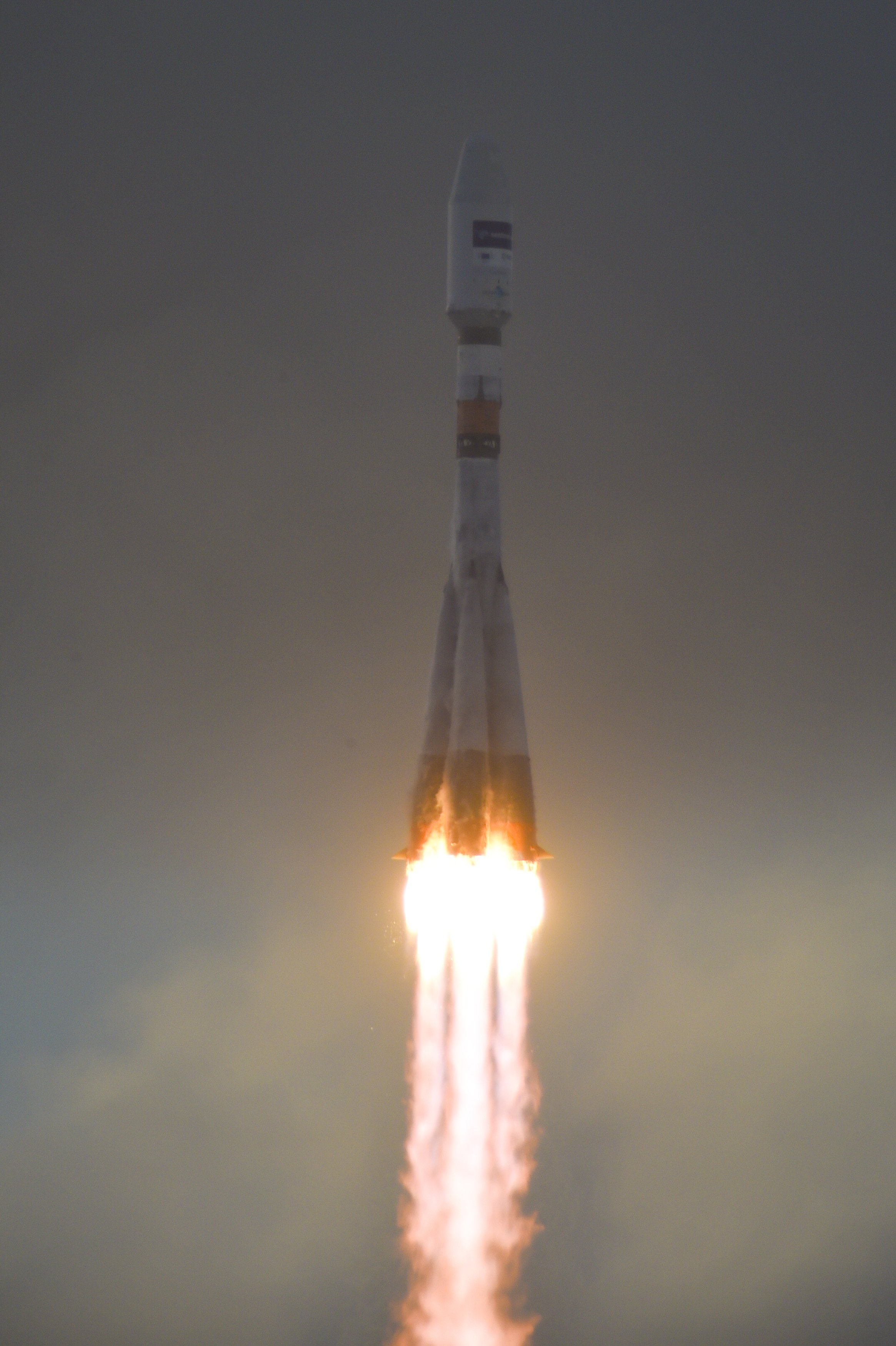
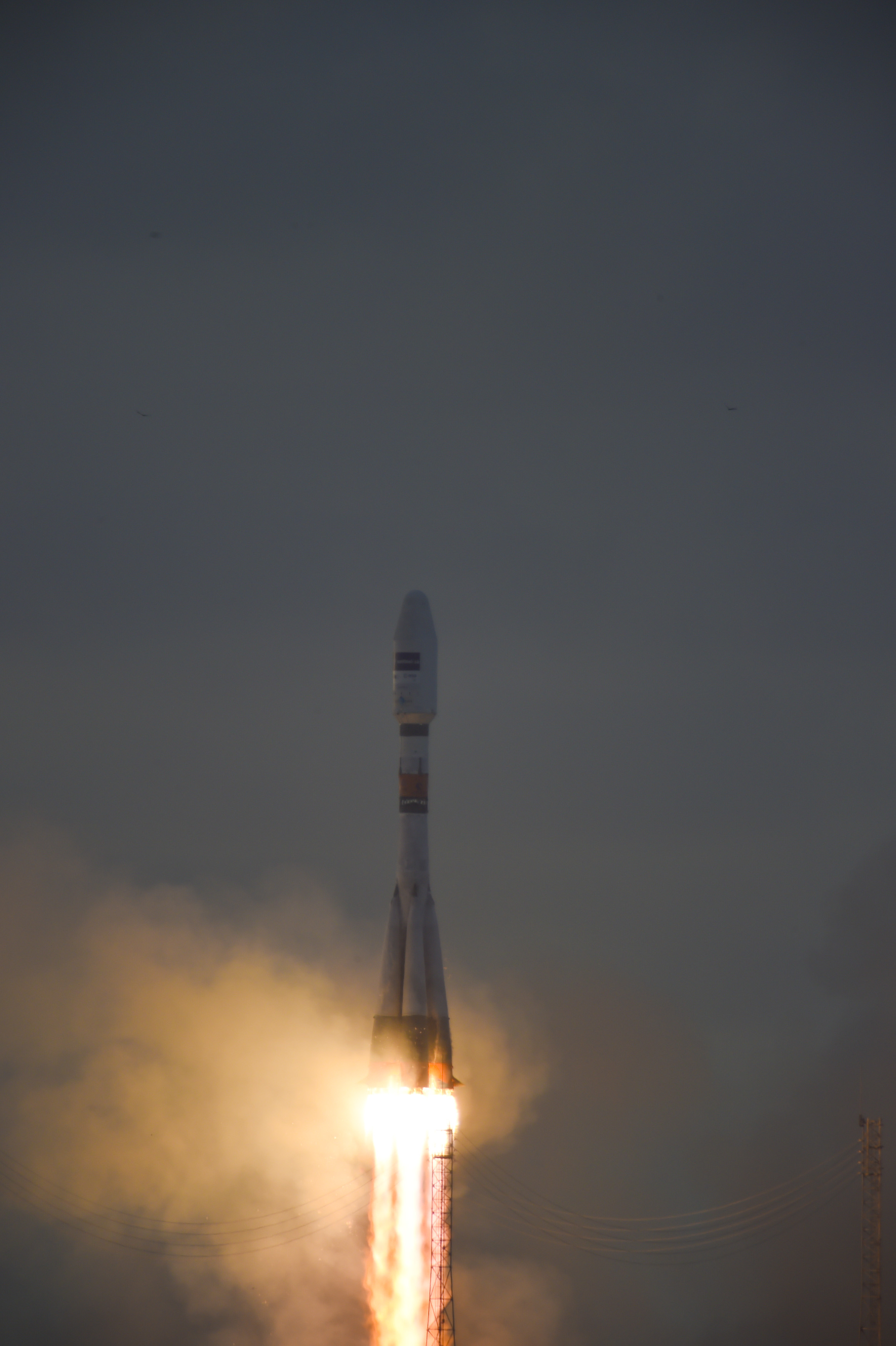
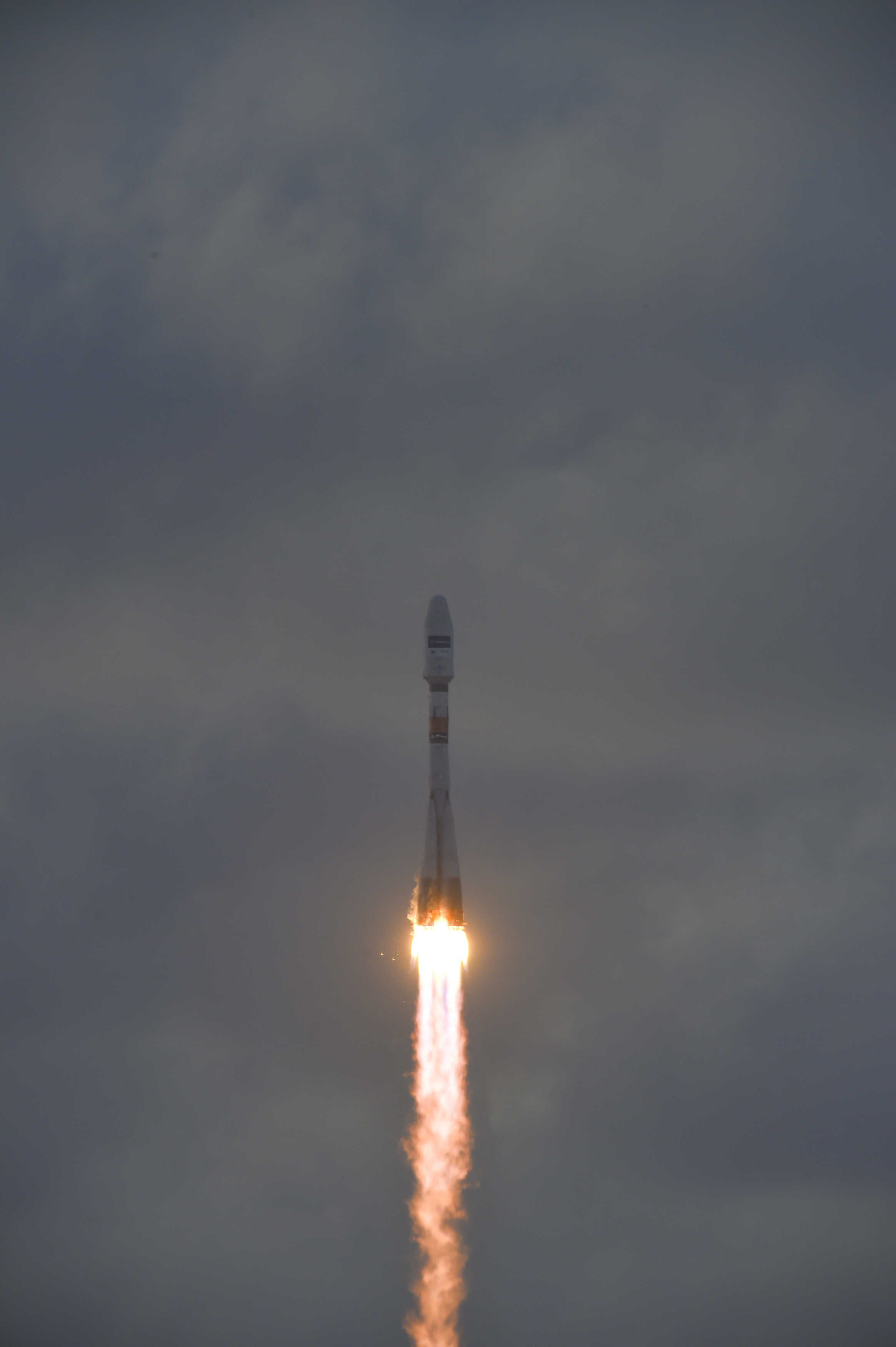
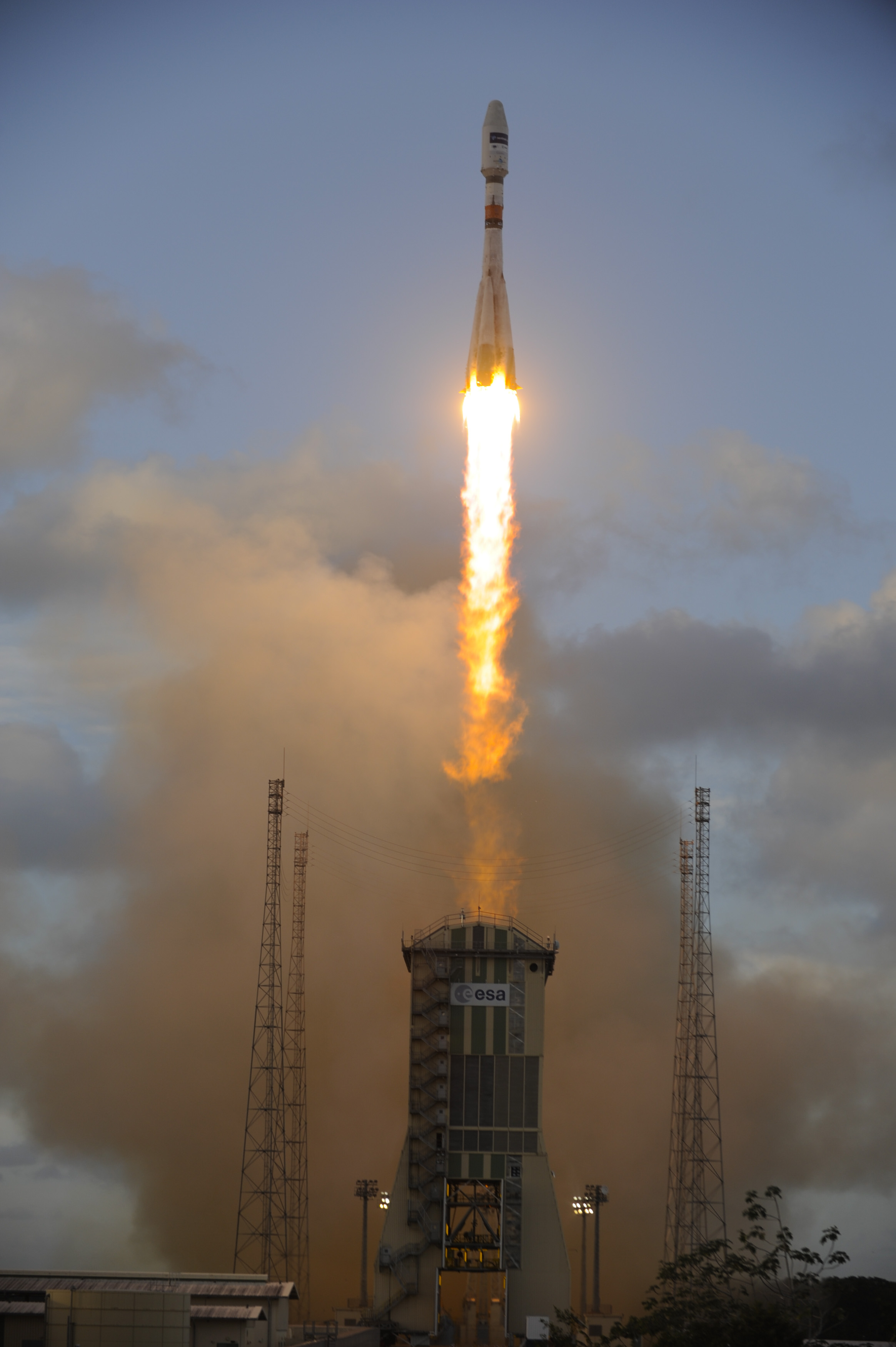
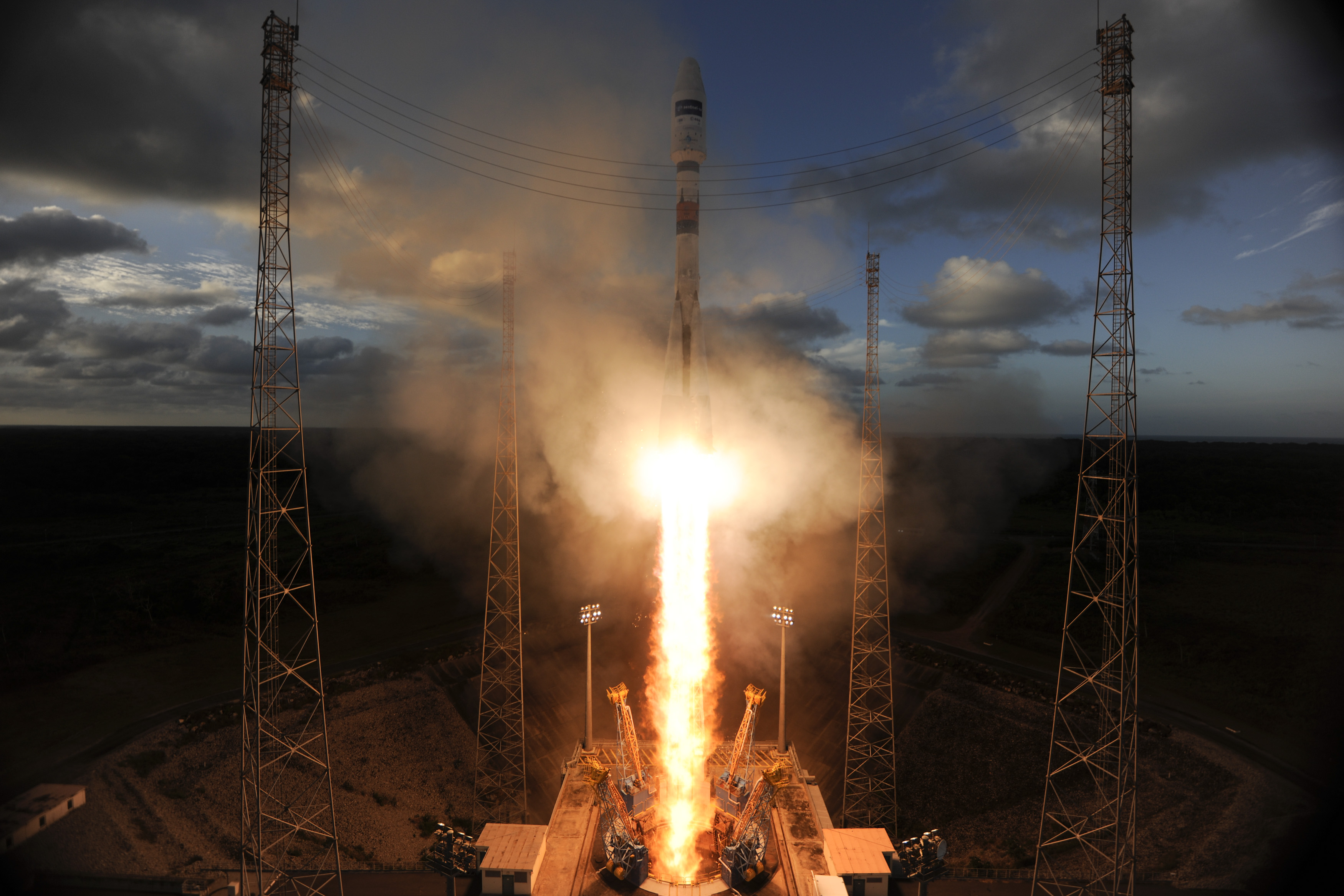
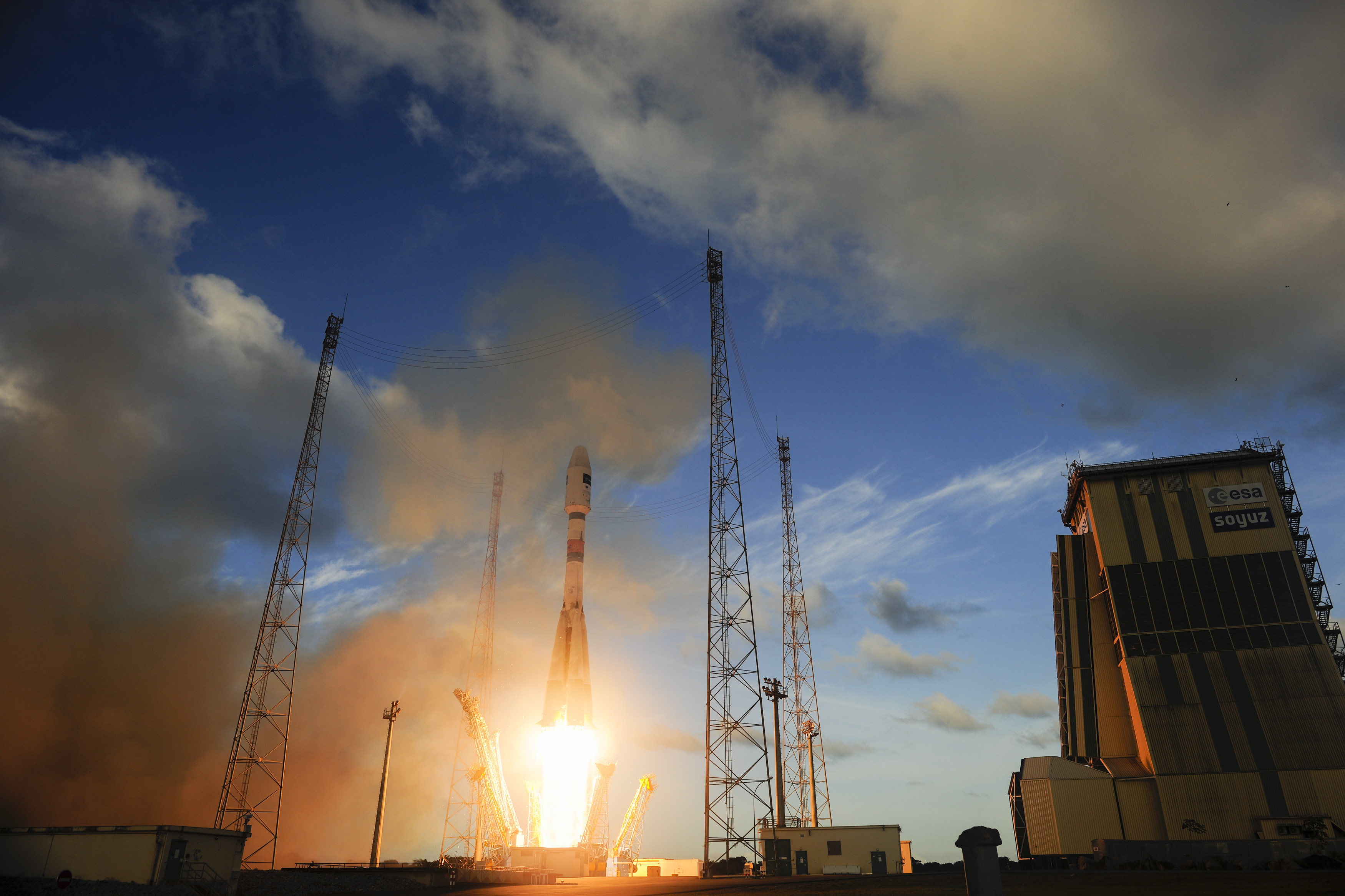
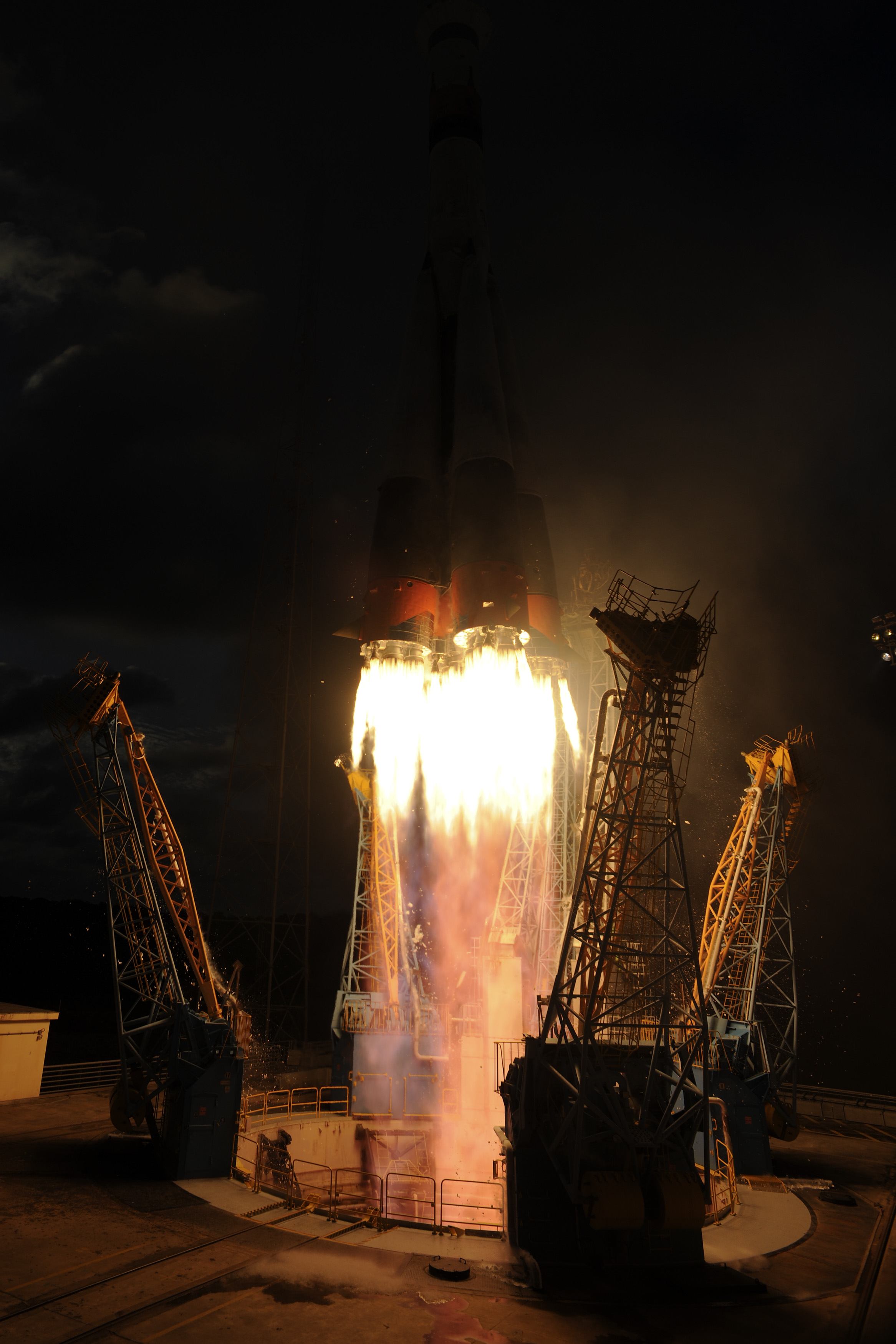
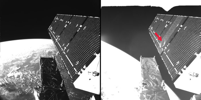
Tomorrow's launch is carrying the first satellite of the program into space - Sentinel 1A. It is a C-band radar satellite that will not only map all the land features day and night, but also looks for polar ice, chemical changes in the ocean and even finding ships. The radar system will provide more flexible/wider imaging strips at higher resolution than the radar on the late Envisat.


Launch location:
Kourou ELS 5°18'18"N 52°50'02"W

Launch dates and times:
[table="head"]{colsp=7}Launch times
{colsp=7}[highlight]
Live Coverage
PAYLOAD
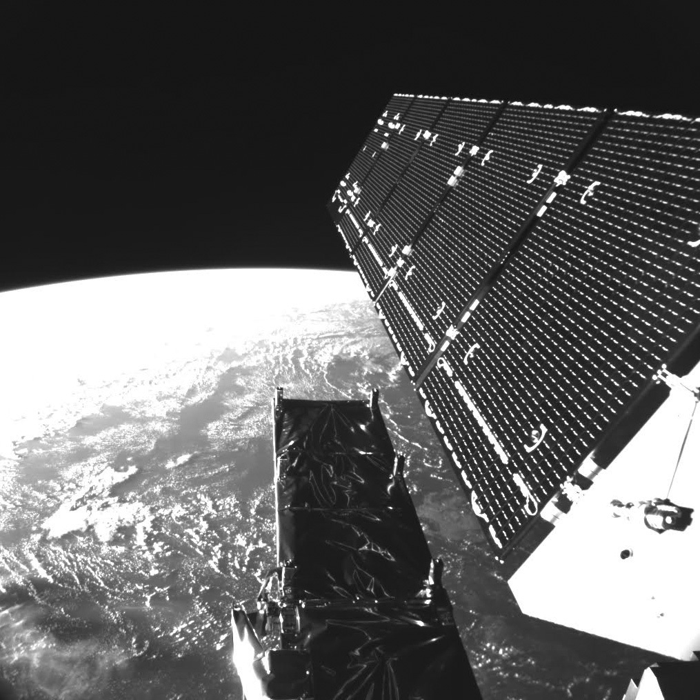
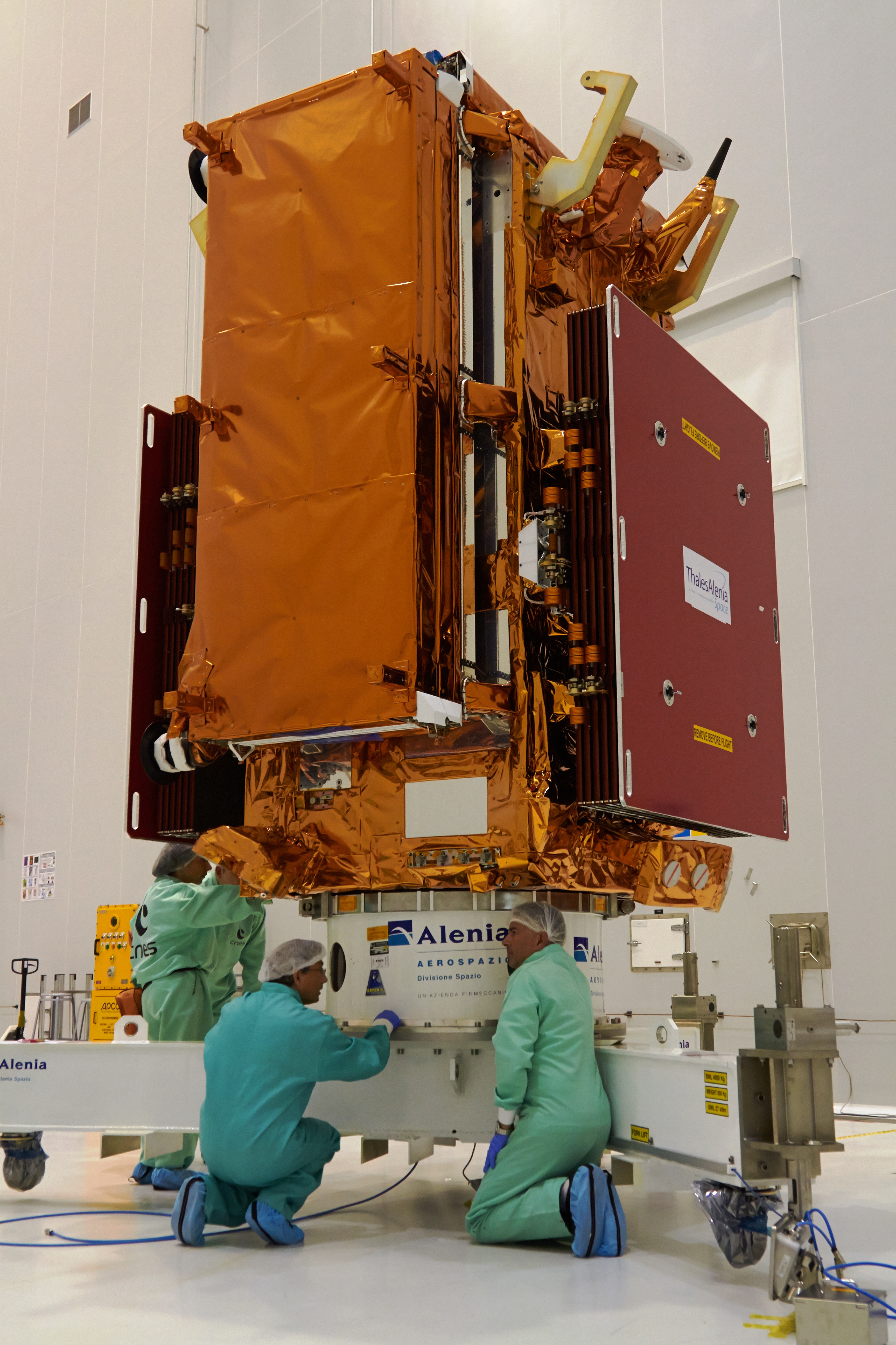
Sentinel 1A C-band radar Earth observation satellite
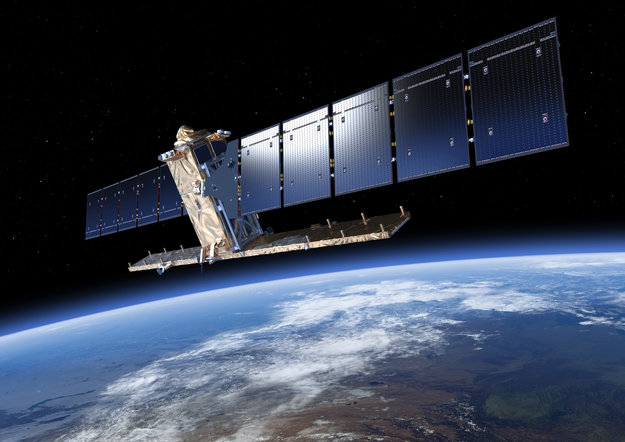
The Sentinel-1 satellite, which is scheduled to be launched in 2014, is part of the GMES program - Global Monitoring for Environment and Security - a set of Earth observation missions co-funded by ESA and the European Commission. GMES represents the European answer to the ever-increasing requirements of environmental control, and thus provides an important contribution to environmental policies at a global level.
As prime contractor, Thales Alenia Space Italy is responsible for the design, development and integration of the satellite that will carry a C-band Synthetic Aperture Radar (SAR). The radar will be based on Thales Alenia Space's key technologies such as the Transmit-Receive modules inside the active antenna.
Based on a Prima platform, developed by Thales Alenia Space for the Italian Space Agency, Sentinel-1 will weigh 2,280 kilograms at launch and will look at the Earth in swaths up to 700 kilometers with a ground resolution of between 5 and 25 meters according to the selected operative mode.
The ESA Sentinel suite is composed of five satellites series. Sentinel-1 will ensure the continuity with ERS and Envisat C-band SAR data. Sentinel-2 and Sentinel-3 satellites are scheduled for launch in 2012 and will support land and ocean monitoring. Sentinel-4 and 5 will be dedicated to meteorology and climatology through atmospheric chemistry study.
In December 2009 ESA signed a contract for a duplicate second spacecraft called Sentinel-1B.
[table="head"]{colsp=2}Characteristics
|[table="head"]{colsp=2}

[/table]
|
[/table]
Launch Vehicle:
[table="head"]{colsp=2}Characteristics
 |[table="head"]{colsp=2}

[/table]
[/table]
The launch vehicle's reliability standings (according to http://www.spacelaunchreport.com/log2014.html#rate):
Ascent profile


Weather Forecast for Sinnamary, French Guiana on April 3, 2014 (6 p.m.)
Partly cloudy skies. High near 27C. Winds NE at 15 to 25 kmh.
Time|Temps|Dew Point|Relative Humidity|Precip|Snow|Cloud cover|Pressure|Wind|Weather
4 PM|27°C|23°C|79%|20%|0%|46%|1010 hPa|18 km/h NE|
 Partly Cloudy
References
http://www.arianespace.com
http://www.esa.int/Our_Activities/Observing_the_Earth/Copernicus/Sentinel-1/
http://www.copernicus.eu/
http://space.skyrocket.de/doc_sdat/sentinel-1.htm
http://www.csgpreparationlancement.com/
http://forum.nasaspaceflight.com
http://www.novosti-kosmonavtiki.ru
http://astronautique.actifforum.com
http://www.spacelaunchreport.com
www.russianspacweb.com
http://www.samspace.ru
http://www.laspace.ru
http://english.wunderground.com/cgi-bin/findweather/getForecast?query=zmw:00000.1.81403
Tomorrow's launch is carrying the first satellite of the program into space - Sentinel 1A. It is a C-band radar satellite that will not only map all the land features day and night, but also looks for polar ice, chemical changes in the ocean and even finding ships. The radar system will provide more flexible/wider imaging strips at higher resolution than the radar on the late Envisat.
Launch location:
Kourou ELS 5°18'18"N 52°50'02"W
Launch dates and times:
[table="head"]{colsp=7}Launch times
Time Zone|Australia - Sydney/AEDT|Moscow / MSK/ UTC+4|CEDT UTC+2|Universal / UTC|Washington / EDT|French Guiana / UTC-3
Launch time:|08:02:26|01:02:26|23:02:26|21:02:26|17:02:26|18:02:26
on:|Apr. 4, 2014|Apr. 4, 2014|Apr. 3, 2014|Apr. 3, 2014|Apr. 3, 2014|Apr. 3, 2014
on:|Apr. 4, 2014|Apr. 4, 2014|Apr. 3, 2014|Apr. 3, 2014|Apr. 3, 2014|Apr. 3, 2014
{colsp=7}[highlight]
[eventTimer]2014-04-03 21:02:26?before|after;%dd% Days %hh% Hours %mm% Minutes %ss% Seconds %c%[/eventTimer] Sentinel 1A Launch[/highlight]
[/table]Live Coverage
- http://www.arianespace.tv/ - begins 20 minutes before the launch
PAYLOAD
Sentinel 1A C-band radar Earth observation satellite
The Sentinel-1 satellite, which is scheduled to be launched in 2014, is part of the GMES program - Global Monitoring for Environment and Security - a set of Earth observation missions co-funded by ESA and the European Commission. GMES represents the European answer to the ever-increasing requirements of environmental control, and thus provides an important contribution to environmental policies at a global level.
As prime contractor, Thales Alenia Space Italy is responsible for the design, development and integration of the satellite that will carry a C-band Synthetic Aperture Radar (SAR). The radar will be based on Thales Alenia Space's key technologies such as the Transmit-Receive modules inside the active antenna.
Based on a Prima platform, developed by Thales Alenia Space for the Italian Space Agency, Sentinel-1 will weigh 2,280 kilograms at launch and will look at the Earth in swaths up to 700 kilometers with a ground resolution of between 5 and 25 meters according to the selected operative mode.
The ESA Sentinel suite is composed of five satellites series. Sentinel-1 will ensure the continuity with ERS and Envisat C-band SAR data. Sentinel-2 and Sentinel-3 satellites are scheduled for launch in 2012 and will support land and ocean monitoring. Sentinel-4 and 5 will be dedicated to meteorology and climatology through atmospheric chemistry study.
In December 2009 ESA signed a contract for a duplicate second spacecraft called Sentinel-1B.
[table="head"]{colsp=2}Characteristics
|[table="head"]{colsp=2}
Sentinel 1A
Prime contractor:
|Thales Alenia SpaceMass at Separation:
|- 2157 kg
Stabilization:
|- 3 axis stabilized
Dimensions:
|- 3.8 m diameter, 4.4 m height
Power:
|- 6.14 kW at beginning of life
Life time:
|- 7.25 years
Instruments:
|- C-band synthetic aperture radar
Orbit:
|- 693 km circular SSO, inclination 98.18°
[/table]
|
[/table]
Launch Vehicle:
[table="head"]{colsp=2}Characteristics
Soyuz-2.1a
Prime contractor:
|- Samara Space Sentre (Energia Holding enterprise)

GRAU Index:
|- 14A14
Height:
| 51.1 mDiameter:
| max 10.3 mLiftoff mass:
| 313 metric tonnesPayload mass:
| up to 6830 kg (a launch to LEO from Plesetsk)1st stage (boosters B, V, G, D):
|- 4 X RD-107 engines
- Propellants (T-1 Kerosene and LOX)
- Thrust/ISP in vacuum - / 320.2 s
- Thrust/ISP at sea level 85.6 tonnes / 263.3 s
2nd stage (core A):
|- 1 X RD-108 engine
- Propellants (T-1 Kerosene and LOX)
- Thrust/ISP in vacuum 94 tonnes / 320.6 s
- Thrust/ISP at sea level 80.8 tonnes / 257.7 s
3rd stage (block I):
|- 1 X RD-0110 engine
- Propellants (T-1 Kerosene and LOX)
- Thrust/ISP in vacuum 30.38 tonnes / 326 s
Upper Stage:
|
- GRAU Index: -
- Common Name: Fregat (meaning Frigate)
- Designer & Manufacturer: Lavochkin Association (NPO)
- Dimensions: Length 2.4 m, Diameter (max) 3.350 m
- Empty Mass 930 kg
- Propellants 5250 kg max
- Main Engine: 1 X S5.92
- Thrust in vacuum 2.0 tonnes of force (full power)
- Thrust in vacuum 1.4 tonnes of force (small power)
- ISP 333.2 s
Payload Fairing:
|- Diameter 3.7 m
- Length 7.7 m
[/table]
[/table]
The launch vehicle's reliability standings (according to http://www.spacelaunchreport.com/log2014.html#rate):
Code:
================================================================
Vehicle     Successes/Tries Realzd Pred  Consc. Last     Dates
                             Rate  Rate* Succes Fail
================================================================
Soyuz 2-1a/Fregat  12    13#   .92  .87     10    5/21/09  2006-
Ascent profile
Weather Forecast for Sinnamary, French Guiana on April 3, 2014 (6 p.m.)
Partly cloudy skies. High near 27C. Winds NE at 15 to 25 kmh.
4 PM|27°C|23°C|79%|20%|0%|46%|1010 hPa|18 km/h NE|
References
http://www.arianespace.com
http://www.esa.int/Our_Activities/Observing_the_Earth/Copernicus/Sentinel-1/
http://www.copernicus.eu/
http://space.skyrocket.de/doc_sdat/sentinel-1.htm
http://www.csgpreparationlancement.com/
http://forum.nasaspaceflight.com
http://www.novosti-kosmonavtiki.ru
http://astronautique.actifforum.com
http://www.spacelaunchreport.com
www.russianspacweb.com
http://www.samspace.ru
http://www.laspace.ru
http://english.wunderground.com/cgi-bin/findweather/getForecast?query=zmw:00000.1.81403